


Grand Canyon 3D Printed Topography Map Hand Painted – Mini Map Series
from £12.00
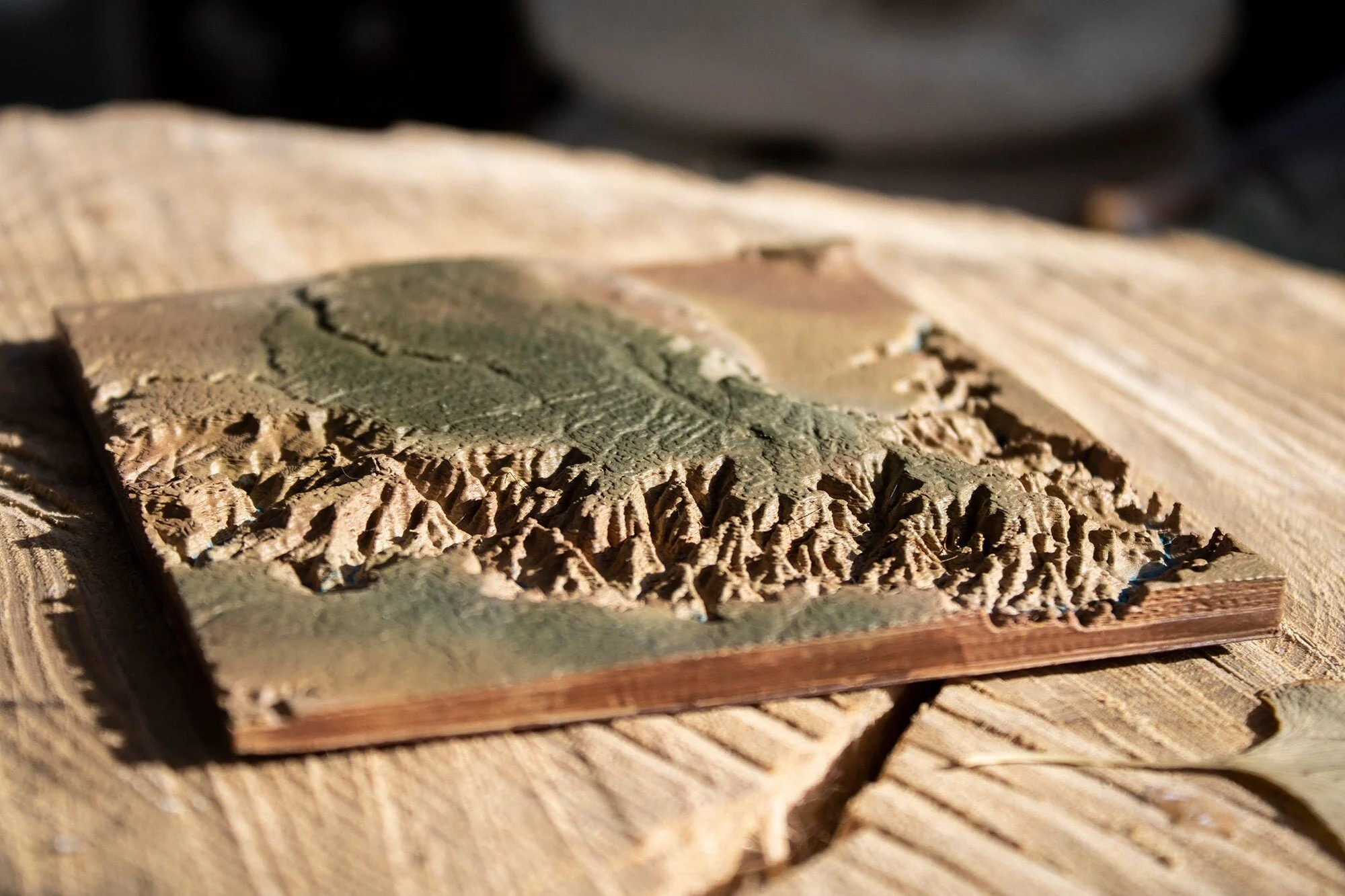
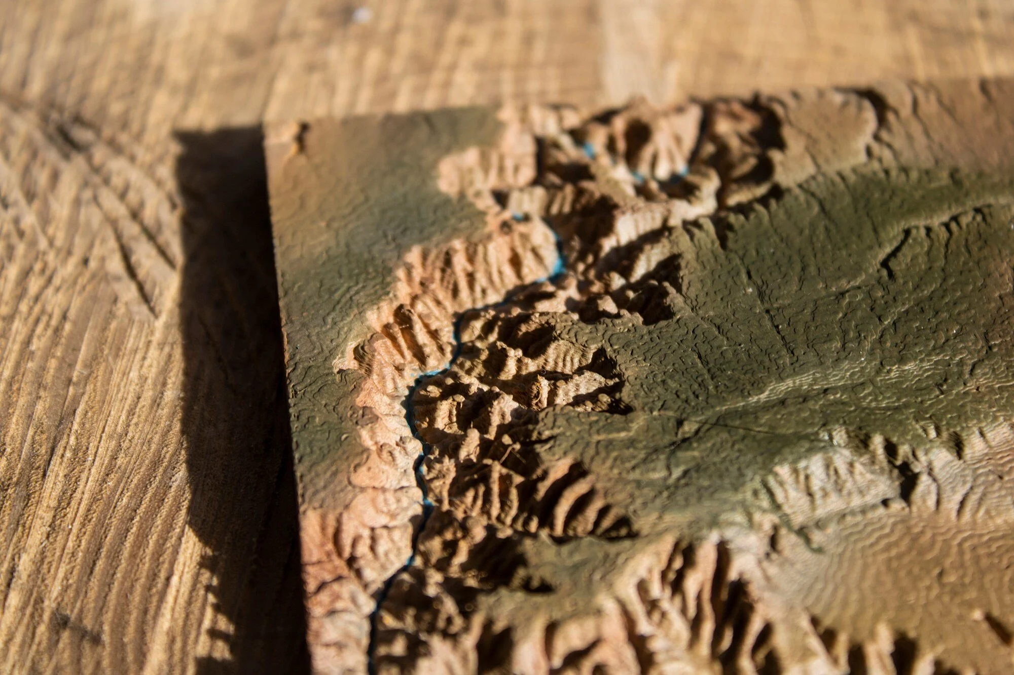
Perhaps you have visited the Grand Canyon? Maybe your heart longs to see the Western States first-hand? Whatever your sentimentality you cannot help but wonder at the drama and beauty of the Grand Canyon. This model captures in 3D just a little segment of this wonder of the geological world.
The region of the map is defined by the lines of latitude 36.00 and 36.75 and lines of longitude -112.55 and -111.8. The Z-axis relief is multiplied by 3 times to allow the geological features to stand out in all their glory. This map covers about 45 miles squared and is available in small (10cm by 10 cm) or medium (15 cm by 15 cm) prints. The map is printed to a layer height of 0.16 mm to capture as much detail as possible.
You can now display some of Earth’s most famous geological features in your own home with our Mini Map Series. Based on actual geological data, our wonderfully detailed 3D printed topology maps are perfect for your desk, shelve, or mantelpiece. Designed and printed here at Chapel Prints we then hand finish and paint each model to look as realistic as possible.
All our maps are designed and finished by an artist. We use images from satellite maps to guide us as we paint each hill and vale by hand. Actual geographical data provided by various space missions - (particularly Japan's ALOS mission) - as well as sonar, radar, and LiDAR submissions, help form a complete map of Earth's surface, from which we source and translate the data for our 3D map models. This particular map takes around 8 or 20 hours (depending on the size) to print but we think it was well worth the wait!
Size:
Finish:
Quantity: