


Ben Nevis 3D Printed Topography Map Hand Painted – Mini Map Series
from £12.00
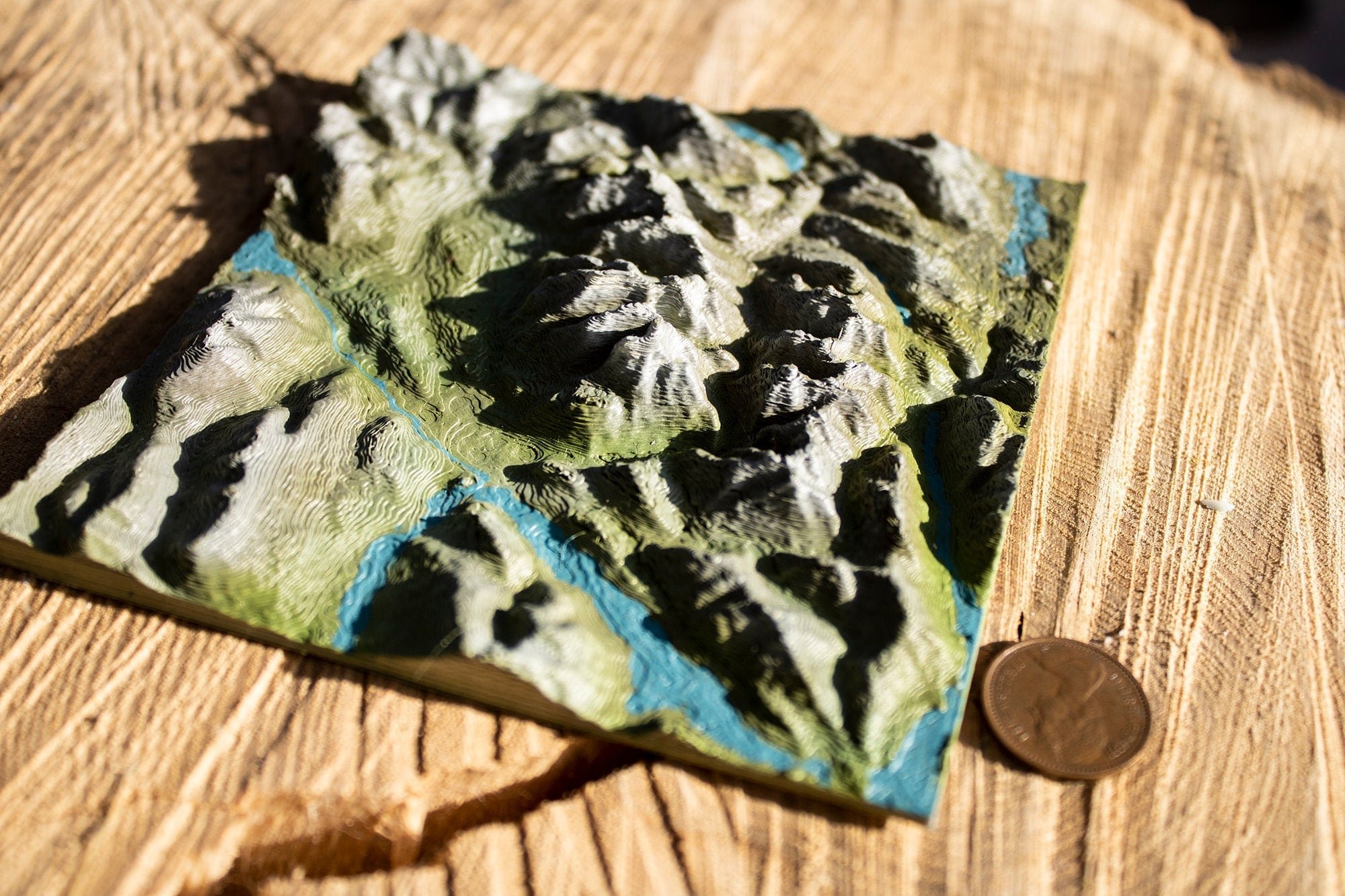
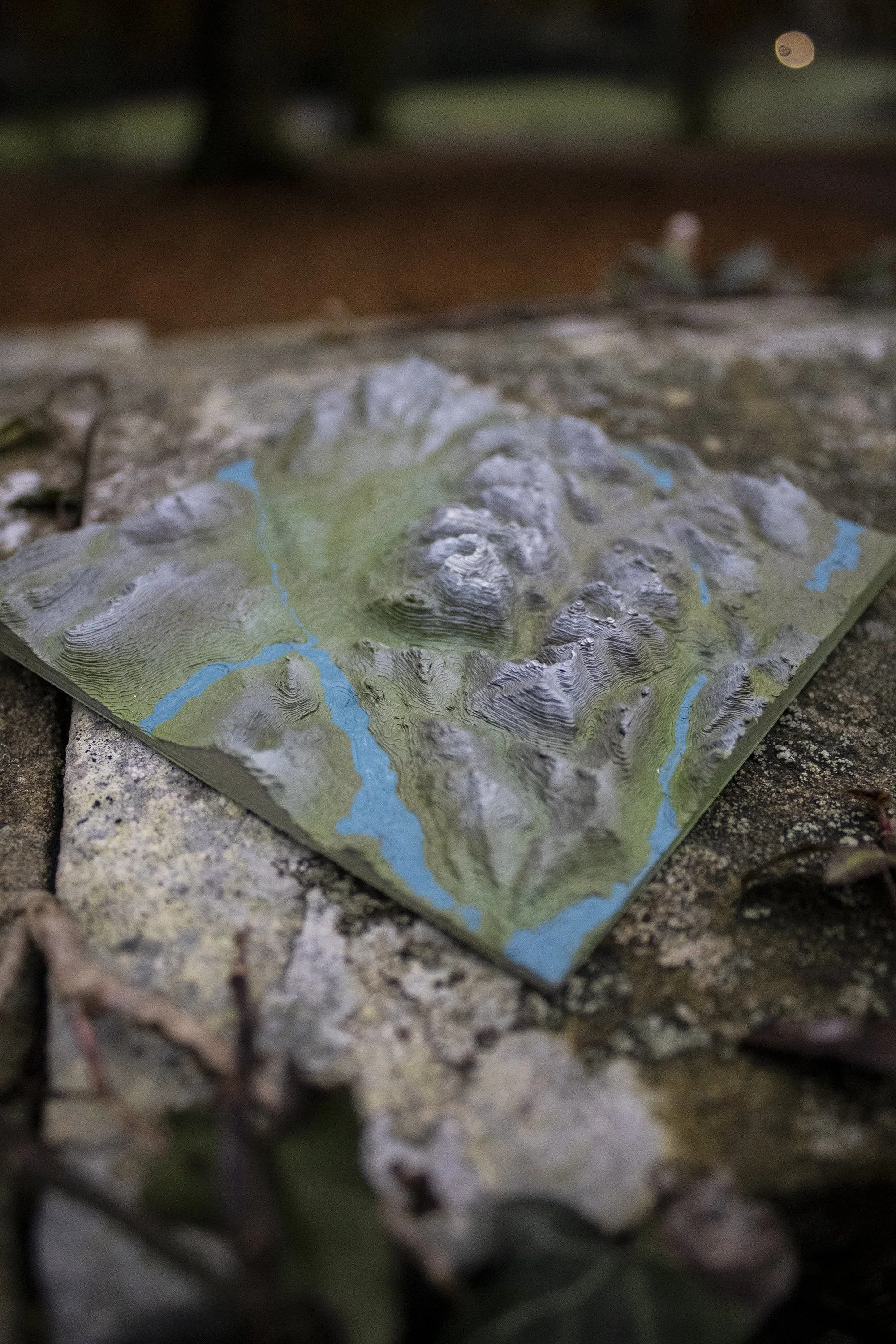
The tallest mountain in the British Isles, Ben Nevis is a spectacular sight to behold and an achievement to climb. Overlooking the Great Glen near Fort William in Scotland, the mountain is in fact all that remains of a Devonian volcano. Geological evidence suggests it met it's end in the Carboniferous (350 million years ago) in a massive super eruption similar to Krakatoa.
Whether you have fond memories of the vistas and breath-taking beauty of the place or wish to admire this famous geological feature of Great Britain; now you can own a 3D printed topological Map perfect for a shelve or mantel piece.
The Z-axis relief is multiplied by 3 times to allow the geological features to stand out in all their glory. This map covers about 19 miles squared and is available in small (10cm by 10 cm) or medium (15 cm by 15 cm) prints. The map is printed to a layer height of 0.16 mm to capture as much detail as possible! We offer both hand-painted (naturalistic) and plain white primer finishes.
You can now display some of Earth’s most famous geological features in your own home with our Mini Map Series. Based on actual geological data, our wonderfully detailed 3D printed topology maps are perfect for your desk, shelf, or mantelpiece. Designed and printed here at Chapel Prints we then hand finish and paint each model to look as realistic as possible.
All our maps are design and finished by an artist. We use images from satellite maps to guide us as we paint each hill and vale by hand. Actual geographical data provided by various space missions - (particularly Japan's ALOS mission) - as well as sonar, radar, and LiDAR submissions, help form a complete map of Earth's surface, from which we source and translate the data for our 3D map models. This particular map (the small 10 cm squared version) took more than 8 hours to print but we think it was well worth the wait!
Size:
Style:
Quantity: