Mount Olympus 3D Printed Topography Relief Map – Mini Map (Colour PLA)
from £12.00
Mount Olympus is one of the smaller mountains in our series, but it is immortalised as the home of the gods thanks to the ancient Greek myths. It stands at almost 3 km tall, overlooking the Mediterranean Sea and commands awe and wonder from those who look upon it. Perhaps the ancient legends intrigue you? Maybe you have been and have fond memories of the place? Whatever the reason, this decorative model -perfect for a desk or shelf - makes a great tribute to this mythical mountain.
The region of the map is defined by the lines of latitude 39.6 and 40.35 and lines of longitude 22.0 and 22.75. The Z-axis relief is multiplied by 3 times to allow the geological features to stand out in all their glory. This map covers about 40 miles squared and is available in small (10cm by 10 cm) or medium (15 cm by 15 cm) prints. The map is printed to a layer height of 0.1mm to capture as much detail as possible! You can now display some of Earth’s most famous geological features in your own home with our Mini Map Series. Based on actual geological data, our wonderfully detailed 3D printed topology maps are perfect for your desk, shelf, or mantelpiece. Designed and printed here at Chapel Prints, hand finish and digitally painted so each model looks as realistic as possible.
All our maps are design and finished by an artist. We use images from satellite maps to guide us as we paint each hill and vale by hand. Actual geographical data provided by various space missions - (particularly Japan's ALOS mission) - as well as sonar, radar, and LiDAR submissions, help form a complete map of Earth's surface, from which we source and translate the data for our 3D map models. This particular map (the small 10 cm squared version) took more than 8 hours to print but we think it was well worth the wait!

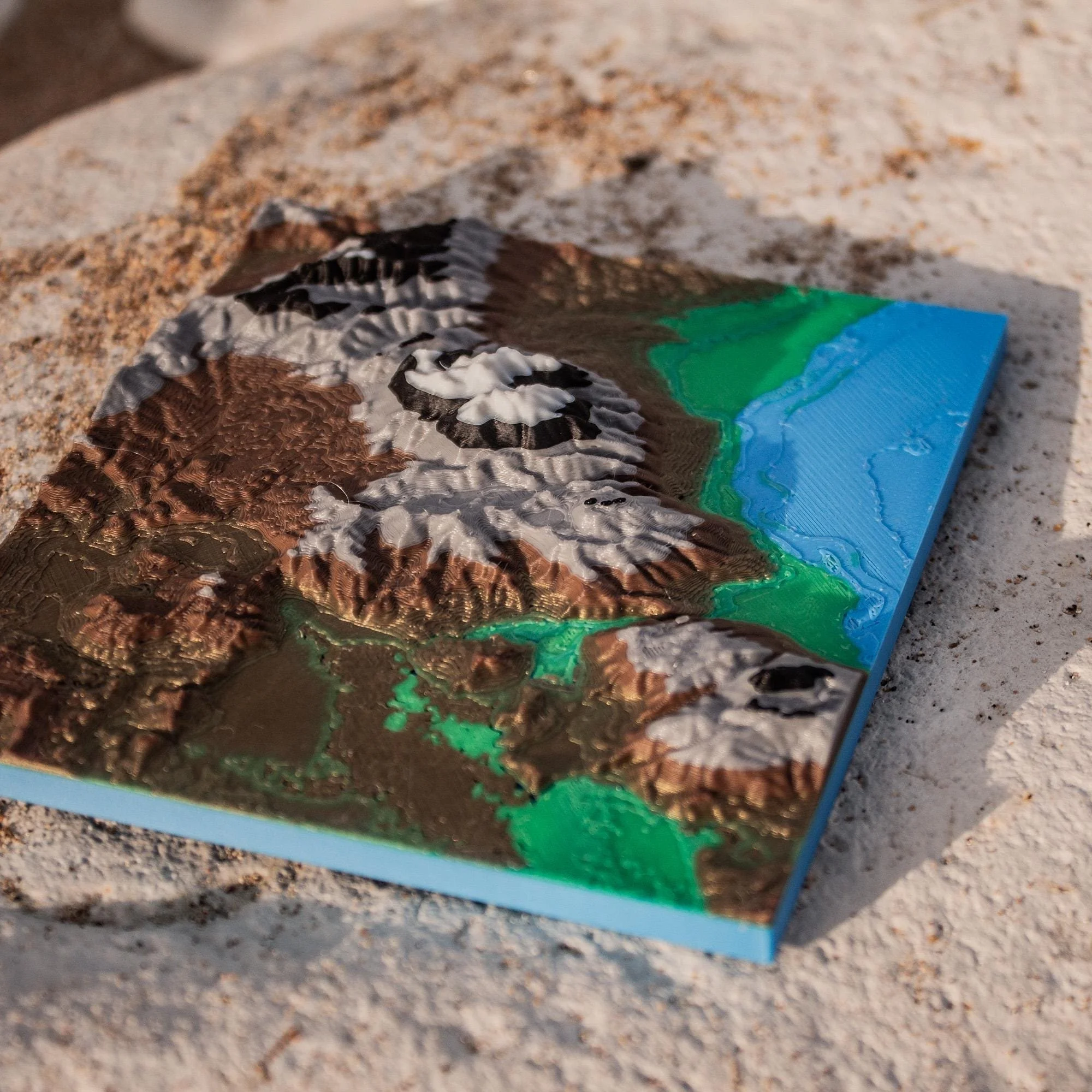 Image 1 of 5
 Image 2 of 5
 Image 3 of 5
 Image 4 of 5
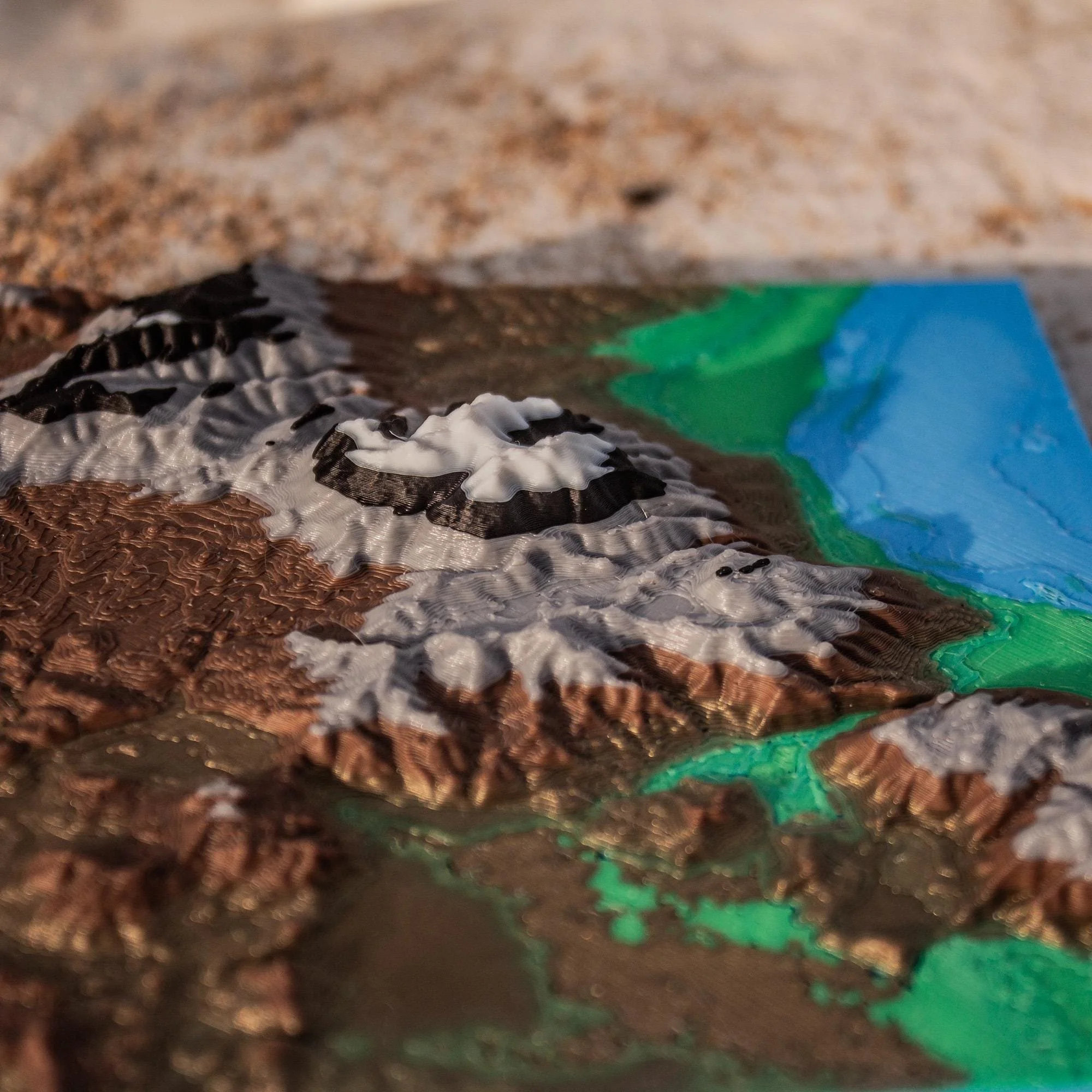 Image 5 of 5