
Topography 3D Printed Relief Maps
3D Printed Maps Commission Pieces Mini Map Series Other Worlds Series Map Gallery
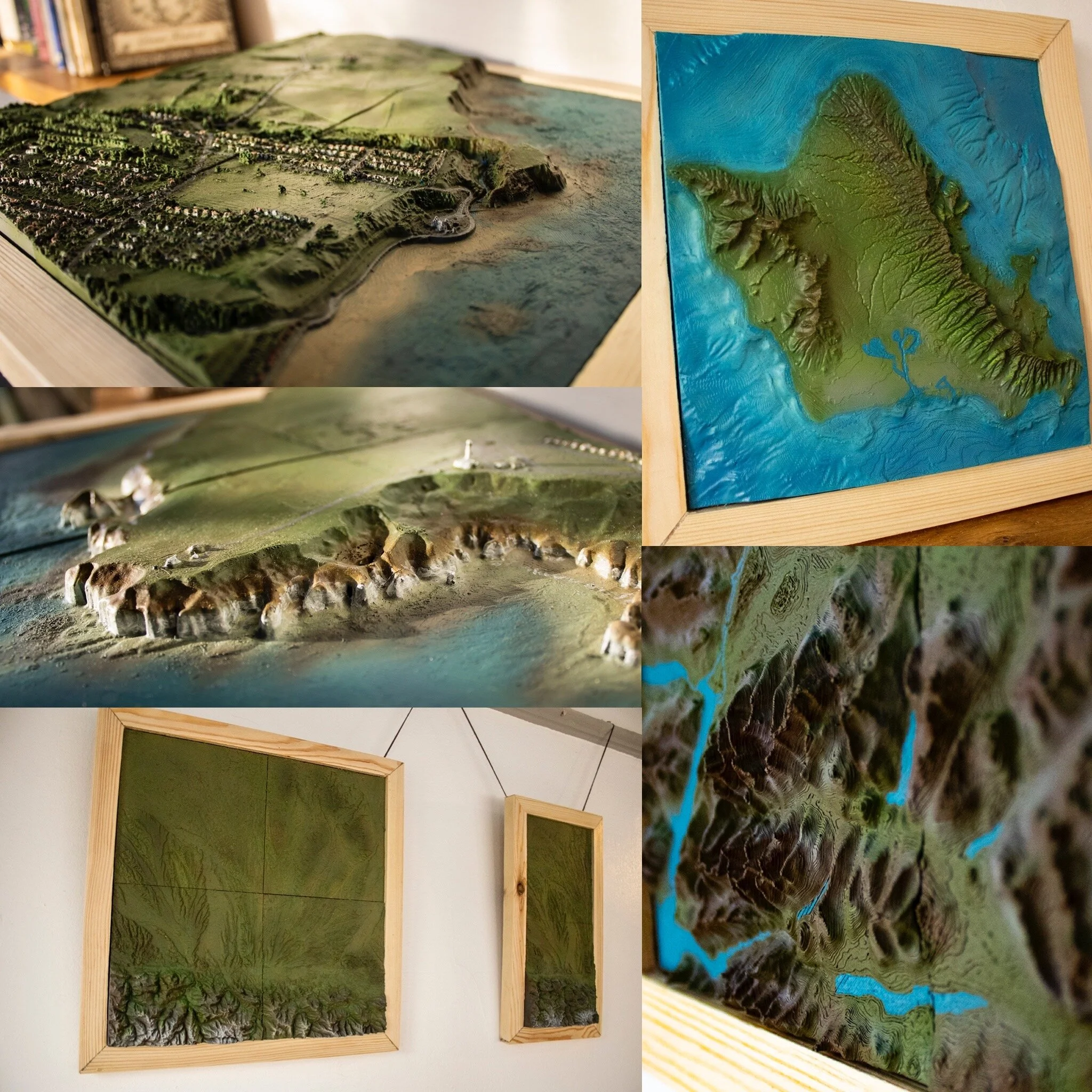
Some of the largest and best-painted 3D printed maps on the market!
Our 3D printed topography maps are based on real-world data. from satellite and LiDAR field surveys. We process the often gigabytes of data and convert it to allow editing and sizing. We then piece the digital files back together, do our final checks and begin printing. Our largest map has taken around 500 hours of printing time. Once printed we prime and carefully hand paint each part and detail of the map.
See the lay of the land, like never before.

Commission Pieces: you think it, we’ll print it.
You can contact us with an idea for a commission map, for yourself or someone special. We’ll check the data availability and get back to you with a suggested printable map. We print a range of sizes from 20cm by 20cm, right the way up to a meter squared.

Mini Map Series
We also offer off-the-self mini maps, ideal as a centerpiece for a shelf or great work desk companion. These maps are of famous and notable locations such as the Grand Canyon, Mount Fuji, and Ben Nevis. They’re available in either small 10cm by 10cm squares or 15cm by 15cm squares.

Out of this World: Topography Maps from Elsewhere in the Solar System: Coming Soon.
Although humans have now flown a helicopter on another planet it could be sometime before any of us or our grandchild escape Earth’s orbit. But thanks to NASA’s topological data of Mars, the Moon, Venus, Callisto, Europa, Ganymede, and Io, we can hang 3D printed topological maps of these places on our wall. Olympus Mons of Mars is the founding map of our Other Worlds Series, other maps are sure to join it. We’re yet to expand this serious can you help with the right out of this world commission?
On Display - Galleries where you can see our work.
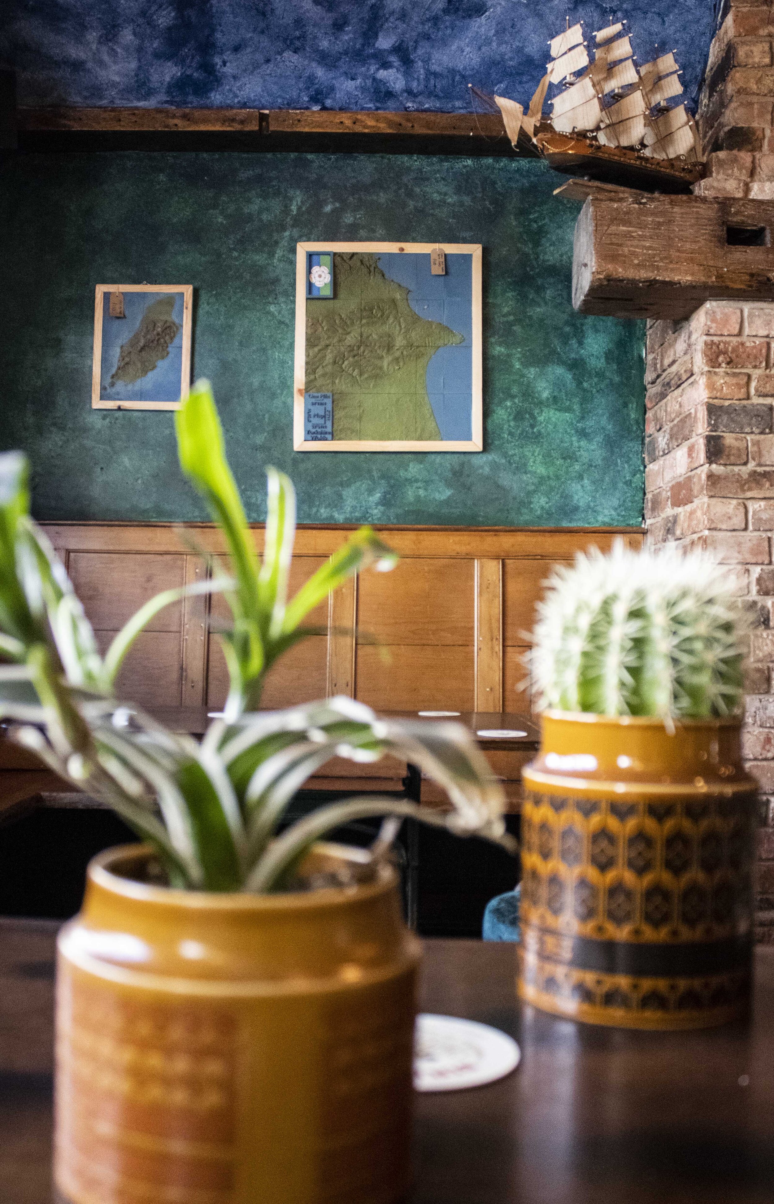
For a list of clients, displays past and present you can get out our galleries. Our first display was at the Nut and Nettle Vegan Cafe Old Town Bridlington!